Most of the satellite derived positions are ADS-C derived, that means they only provide position updates every 10 minutes. I order to make the remote data more realistic, RT runs an interpolation job with that fills in the positions received every 10 minutes with intermediate positions, so that when you fly with a time offset of 10 minutes or more, you will see most of the remote oceanic and polar traffic around you on those long hauls.
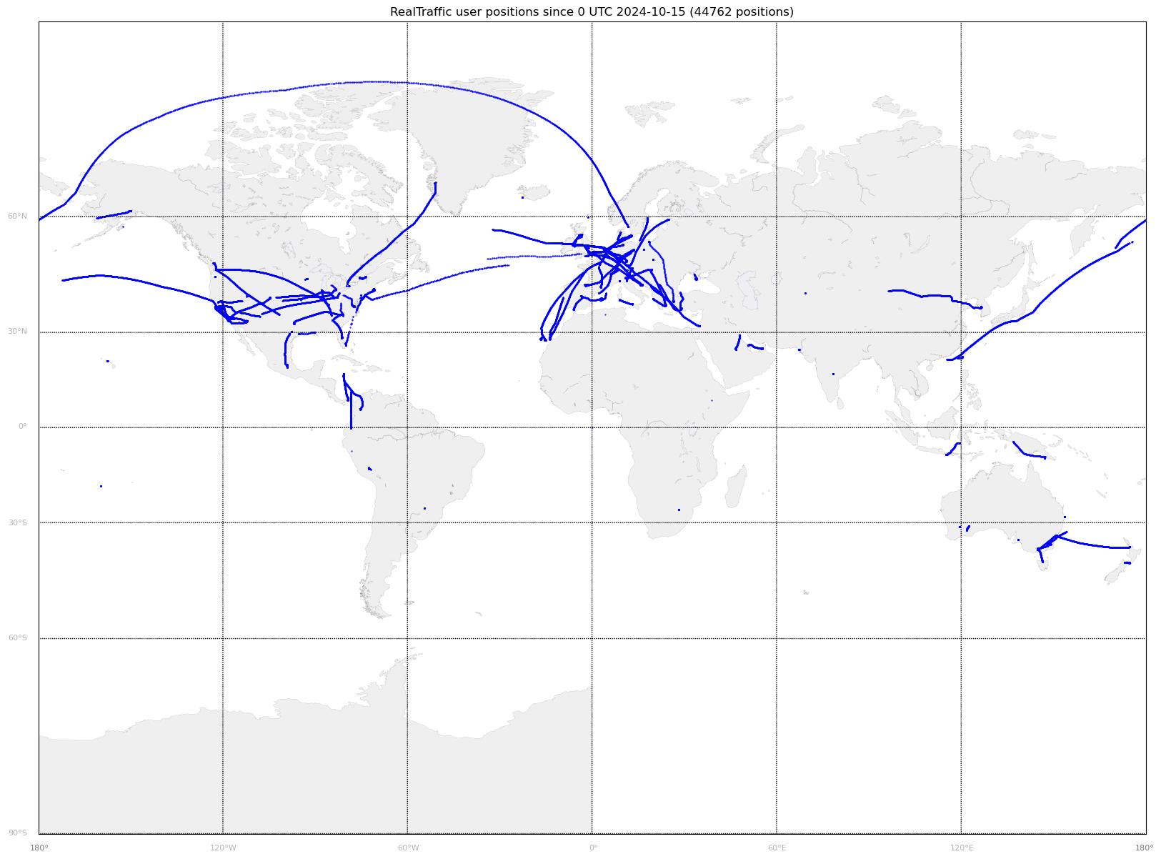
You can see the daily coverage plots on the main website, the daily plot linked here:

The yellow points show traffic below 10'000ft, while the cyan points are above 10'000ft. Remember you can also check the coverage for airports using the https://www.flyrealtraffic.com/coverage.html.
I'm also creating a daily coverage plot of where RT users are flying. See if you can spot your own tracks you make!